Latest News
Ascending Scafell Pike by the Corridor Route with Great Gable in background
Mountain Adventures
Home Page Three Peaks Challenge Lake District 3000 Footers Yorkshire 3 Peaks Lake District Challenges Lake District Scrambles Glencoe Experience Black Cuillin Wilderness Mountains Preparation and Training Ascent Training Why do a Mountain Challenge? About Us

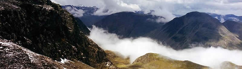
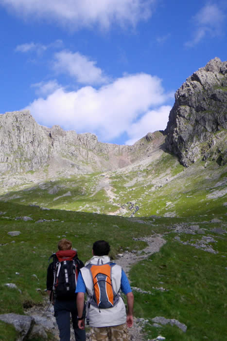
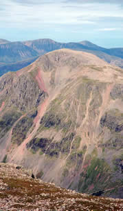
Scafell Pike Lake District 3000 Footers

Scafell Pike is the highest mountain in England and is located in a commanding position in the Central Fells and stands at 978metres / 3209 ft with superb 360 degree views.

Scafell Pike is one huge pile of boulders set amidst the Volcanic belt of the southern Cumbrian Mountains and this surviving reminder of the mountain's turbulent past provides the roughest walking on this challenge.


  • Start Point: Seathwaite Farm
  • Distance: From Seathwaite 14.5km return
  • Total ascent: 906 metres
  • From Seathwaite : Ascent: 3 hours / Descent: 2 hours
  • Route: Corridor Route return or descent via Grains Gill
  Sunrise on Scafell Pike
     

Scafell Pike may surprise walkers with its rocky and rugged paths, becoming very steep and unrelenting towards the top.

Lower paths are well defined and gentle, but don't be fooled into relaxing your navigation! The Pike is very often covered by mist and many participants may face at least some part of this mountain in darkness. The rocky plateau around the top can also play a factor and disorientate the weary and tired walker.

Topography:

Scafell Pike is one of a horseshoe of high fells, open to the south, which surrounds the head of Eskdale. It stands on the western side of the cirque with Sca Fell to the south and Great End to the north.

This ridge forms the watershed between Eskdale and Wasdale, which lies to the west.

  Descending Scafell Pike via Lingmell Col
     

The narrowest definition of Scafell Pike begins at the ridge of Mickledore in the south, takes in the wide, stony summit area and ends at the next depression, Broad Crag Col, (920 m / 3,030 ft). Broad Crag Col is the source of Little Narrowcove Beck in the east and of Piers Gill in the west. The latter, working its way around Lingmell to Wast Water, flows through a spectacular ravine, one of the most impressive in the District.

Geology:

Scafell Pike consists of igneous rock dating from the Ordovician period, and is geologically part of the Borrowdale Volcanics. The summit plateau of Scafell pike, and the other neighbouring peaks, is covered with shattered rock debris which provides the highest altitude example of a summit boulder field in England. The boulder field is thought to have been caused in part by weathering, such as frost action and possibly earth movement caused by earthquakes.
  Looking up Mickledore towards the Scafells
     

Ascent Route:

From a logistical point of view and especially for those groups based in or around Keswick, the best route involving the least link transport is via Seathwaite Farm.

This route is 6.5km longer than via Wasdale Head and Lingmell Col and is more taxing, but scenically far superior.

Our approach begins at Seathwaite Farm at the end of Borrowdale, proceeding via Sty Head Tarn then taking the Corridor Route, formerly known as the Guides Route.

This is a delightful walk along the western flank of the Sca Fell massif affording intimate views of the mountain, before joining the route from Wasdale near the summit.

The return leg is back the same way or alternatively heading between Broad Crag and Ill Crag towards Great End and descending by Grains Gill back to Seathwaite.

  Scafell Pike looking towards Great Gable early Autumn
     
© Copyright Activus Outdoors

Tel: (44) 17687 75337 Skype: Activus Outdoors: Skype Status

Looking for a different kind of adventure? Visit our Activus Group web page where you'll find links to all of our other inspirational sites.